To enhance your visit to the National Forest why not take a look at the unique array of attractions on offer.
Browse the National Forest Map and explore this destination and things nearby.
Added to basket


Location
Croxall Lakes, Burton Road, Alrewas, Staffordshire, WS13 8QT

OS Grid Ref
SK189139

what3words
bridge.sends.intention

Path type
Surfaced paths

Path Type
Surfaced paths suitable for all users

Site Owner
Staffordshire Wildlife Trust
Browse the National Forest Map and explore this destination and things nearby.
Summary
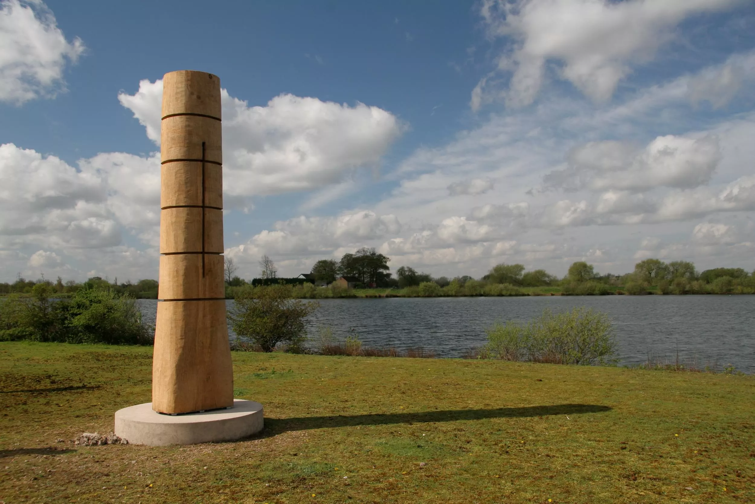
Croxall Lakes is a 60-hectare site bought by the National Forest in 2000 and is now part managed by Staffordshire Wildlife Trust. The nature reserve is dominated by two large lakes situated at the joining of the river Trent and its tributaries, the Tame and the Mease. The site was formerly quarried for sand and gravel and is part of a complex of restored wetlands in the Trent valley floodplain. Croxall Lakes now provides a home for a wide range of wintering and breeding birds such as goosander, wigeon, smew and lapwing.
Otter signs such as footprints and spraints are commonly found on the reserve’s riverbanks, however, this shy mammal is very difficult to spot. If you visit the reserve between November and January, you may well see short-eared owls flying low above the areas of tall grasses, hunting for small mammals. Wetlands are also great places to see insects such as different species of dragonfly and damselfly. There are some areas where public are not allowed due to sensitive wildlife, please see information on site.
Facilities
Advance visit information
To enhance your visit to the National Forest why not take a look at the unique array of attractions on offer.

Why not explore the Forest on one of our circular trails? Each showcasing the variety of landscapes across the National Forest.
